Double trouble: Man dies in submerged car near Brisbane as two weather systems converge
A man has died in floodwaters southwest of Brisbane, as Queensland braces for more severe weather, with NSW also expected to cop thunderstorms and big downpours.
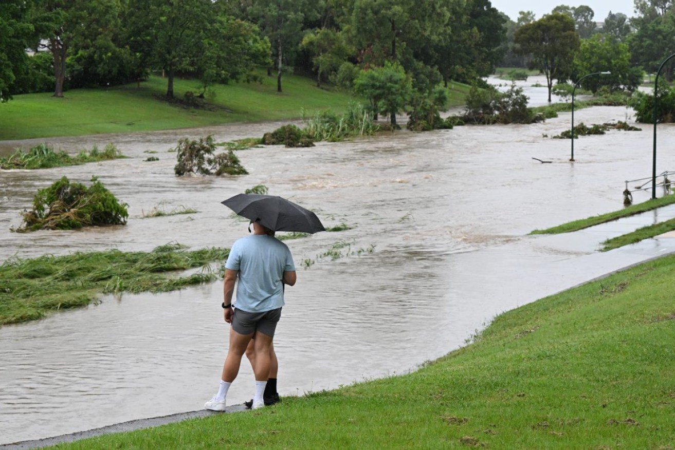
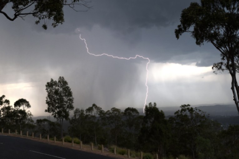
Kedron Brook is seen flooding in the suburb of the Grange in Brisbane earlier this year (AAP Image/Darren England)
The 71-year-old man’s car was found submerged in waters at Greenbank, where more than 100mm of rain fell in an hour on Wednesday night.
His body was found nearby the car early Thursday morning.
The state is set to be plagued by more wet weather on Thursday, with a severe weather warnings issued for the Central West, Marranoa and Warrego regions.
The Bureau of Meteorology’s Angus Hines said more warnings could be issued throughout the day as thunderstorms moved through much of the state’s south. “The most vigorous activity is generally over that Marranoa and Warrego region but potentially a little bit later today that could move somewhere else,” he told AAP.
“The primary threat is going to be heavy rainfall, much like it was last night, localised pockets of very heavy rainfall.”
Major flooding is being predicted along the Bremer River on Thursday morning, where the bureau says water levels have already risen sharply following Wednesday night’s heavy rainfall.
Moderate flooding is also possible in parts of the southern inland and southwest of Queensland including the Condamine, McIntyre, Weir, Warrego and Moonie Rivers.
For residents near the Moonie and Condamine rivers it marks just a few months since river levels rose, flooding homes in a January emergency.
The weather system will move south into northern NSW developing into a low pressure system, bringing widespread rain of 30mm to 50mm and up to 100mm in some areas.
It was a wet evening on Wednesday in the state’s northeast, with Nashua recording 70mm and Walllis Lakes 64.5mm falling in two hours at Wallis Lakes.
Mr Hines said although a severe weather warning for NSW’s northern rivers, mid-north coast and Hunter regions was cancelled on Thursday morning, the state could still expect heavy rain in the coming days.
“As we push through today and tomorrow the rain is actually going to turn a little bit more widespread,” he said.
“Today we do have some further thunderstorms expected in the north which could bring some pockets of very heavy rainfall for the northern rivers and the northwest.”
The system is expected to track further south to the Hunter, Sydney, Blue Mountains and Illawarra on Friday.
On Wednesday, NSW State Emergency Services said they were preparing for the worst with residents urged to get ready for the storms.
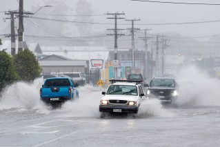
“Flood and storm teams are on standby to respond should they be required, but we’re pleading with the community to be prepared, stay informed and not drive through floodwaters,” assistant commissioner Sean Keans said.
A flood watch is in place for the Mid North Coast, Sydney region, South Coast and parts of the north west.