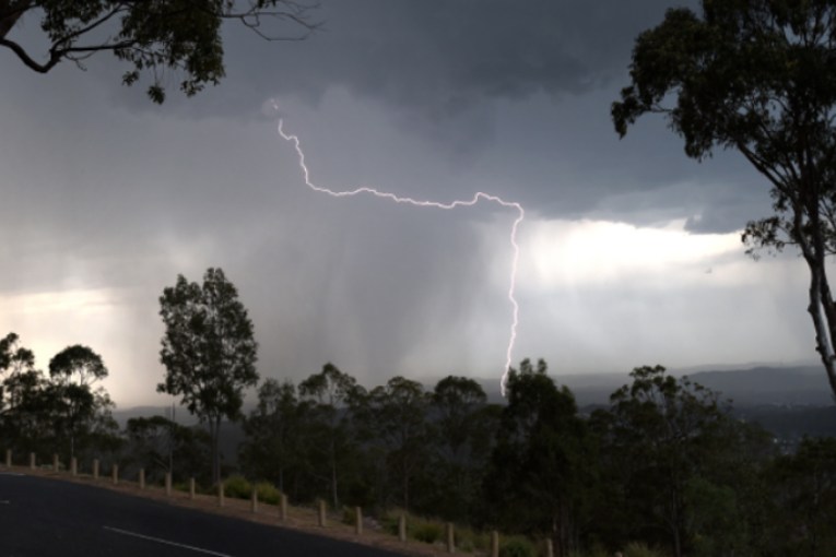
Tropical low is ‘moderate chance’ of becoming cyclone before weekend; north battens down
A cyclone watch has been issued as flood-hit regions brace for more rain and strong winds.
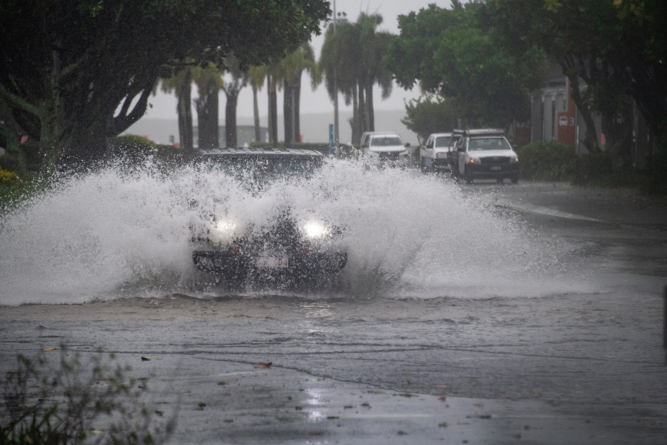
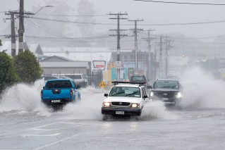
Cars drive through water at the Cairns Esplanade in Cairns, Thursday, December 14, 2023. People in Tropical Cyclone Jasper's destructive path have been warned they are still not safe despite the system weakening in far north Queensland. (AAP Image/Brian Cassey)
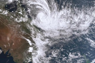
A tropical low in the Gulf of Carpentaria is a moderate chance of developing into a cyclone as early as Thursday night, the Bureau of Meteorology has warned.
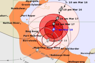
A cyclone watch has been issued for Gulf coastal areas spanning Port Roper in the Northern Territory to Burketown in Queensland’s northwest.
“A tropical low … will continue to develop over the warm waters of the Gulf of Carpentaria over the next few days,” the bureau said.
“There is a moderate chance it could strengthen into a tropical cyclone overnight Thursday or during Friday.”
Strong winds and isolated falls of up to 200mm may impact the region in the coming days.
“Coastal communities in the watch area could experience gales with damaging wind gusts to 100km/h from early Friday morning,” the bureau said.
“Periods of heavy rain could develop along the southern Gulf of Carpentaria coast during Thursday, becoming more likely on Friday as the system moves closer to the coast.”
The third cyclone in as many months is now threatening to impact Queensland.
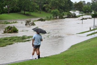
The state’s Gulf region is already reeling from flooding caused by ex-cyclone Kirrily which crossed the Queensland coast just weeks ago.
And Tropical Cyclone Jasper caused record flooding in the far north in mid-December after making landfall as a category two system north of Cairns.
“There is a risk of severe weather happening regardless of whether it develops into a tropical cyclone,” a bureau spokesperson said.
The system is later this week set to head west into the NT where it is expected to decrease in intensity “rather quickly”.
“Over the weekend and next week …(the system) is expected to move generally west over central Northern Territory and then northern Western Australia, bringing heavy rainfall to areas near its path,” the bureau said.
“There is a chance … (the system) reaches waters west of the Kimberley (in WA) by next Wednesday February 21 where there is potential to strengthen into a tropical cyclone,” the bureau said.