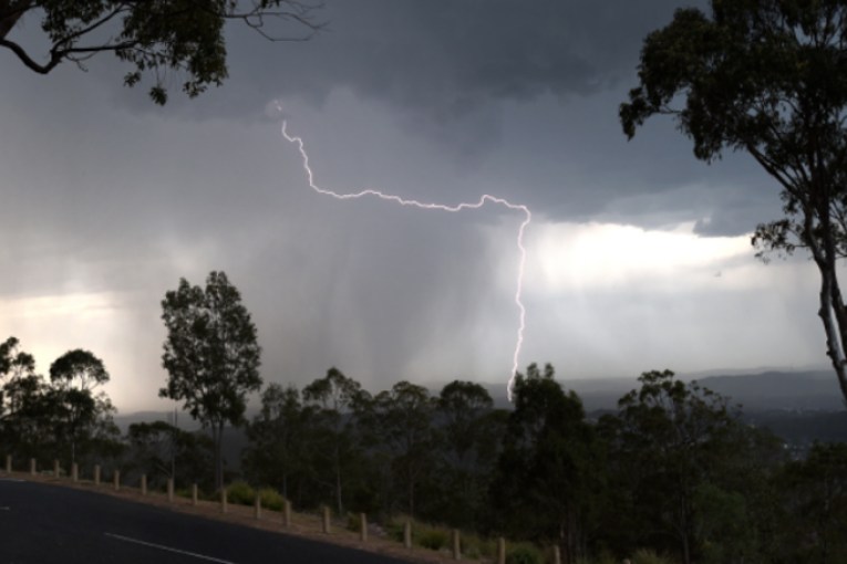
Cyclone Uesi set to bring heavy swells to Qld coast
Wild surf conditions are expected off the coast of Queensland, south of Fraser Island, from Thursday as Tropical Cyclone Uesi tracks south of New Caledonia.
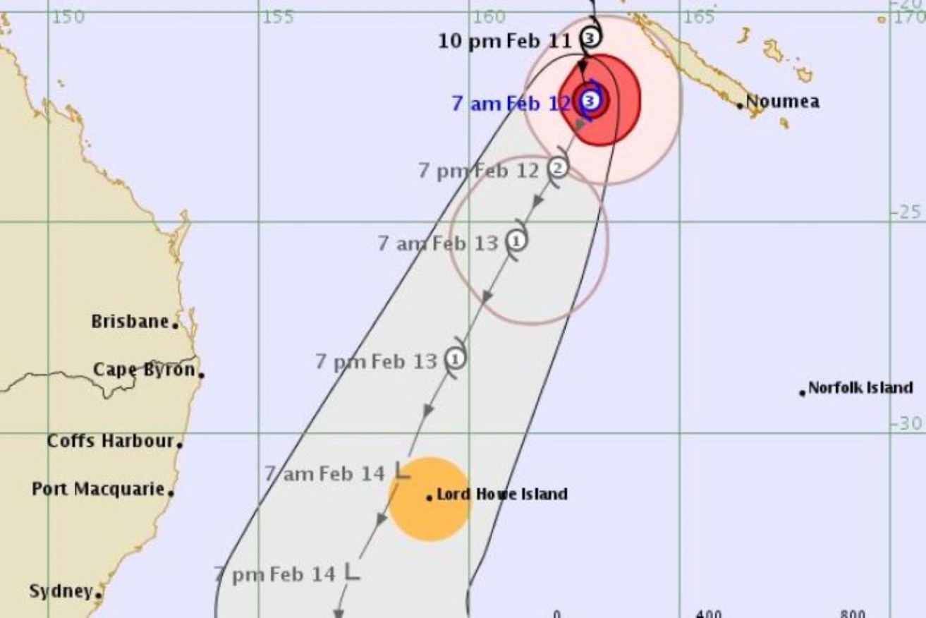
The forecast path of cyclone Uesi. (Photo: Supplied: Bureau of Meteorology)
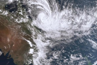
Cyclone Uesi is forecast to remain well off the coast of Australia, but increased rain, hazardous swells and high winds are likely to be felt by coastal communities.
Kimba Wong from the Bureau of Meteorology (BOM) said the system was tracking south, southwest of New Caledonia and would weaken as it moved over cooler ocean waters.
Severe Tropical #CycloneUesi Cat 3 currently located 1400 km off the Aus coast, near New Caledonia. It's tracking south-southwest likely to enter Australian region as a Cat 1 Thur/Fri & weaken during the weekend. Not expected to make landfall. https://t.co/S4dyP1u5bA pic.twitter.com/vv0M7Flc2b
— Bureau of Meteorology, New South Wales (@BOM_NSW) February 11, 2020
“We’re expecting that cyclone to head further to the south, southwest and come closer to the Australian mainland over the coming days,” she said.
“Currently the forecast track is being produced by the Fijian met office, and they’re forecasting that cyclone to head further to the south, southwest over the coming days.”
BOM has now issued its first “Tropical Cyclone Advice” for the weakening system, warning it is moving towards Lord Howe Island.
It said the island will be hit by gales with gusts of up to 120km/h from tomorrow afternoon.
“At this stage we’re not expecting direct cyclone impacts on the Queensland east coast, as it’s expected to remain offshore for the time being,” Wong said.
“What we are expecting, though, as we head into the end of this week, particularly from Thursday onwards, is anywhere south of Fraser Island will see some increased easterly swell.
“From Thursday we’re expecting a 2m to 2.5m easterly swell.”

Wave heights predicted along Australia’s east coast on Friday. (Photo: BOM)
The swell could peak as high as 3.5m on Friday and hazardous surf conditions and high winds are likely as the cyclone system tracks closer to the Queensland coast.
The BOM has encouraged surfers and mariners to keep up to date with conditions towards the end of the week.
There are also concerns the high tides and increased swell could lead to some beach erosion.
“We could see a little bit of increased rainfall along the Gold Coast as well,” Wong said.
“That system is still offshore but it could increase the rainfall on Saturday.”