How a big, warm blob in the Pacific could be proof that El Niño is on its way
Weatherzone has spotted a blob of warm water it said was lurking beneath the surface of the Pacific Ocean that increased the likelihood that El Niño weather pattern would develop later this year.

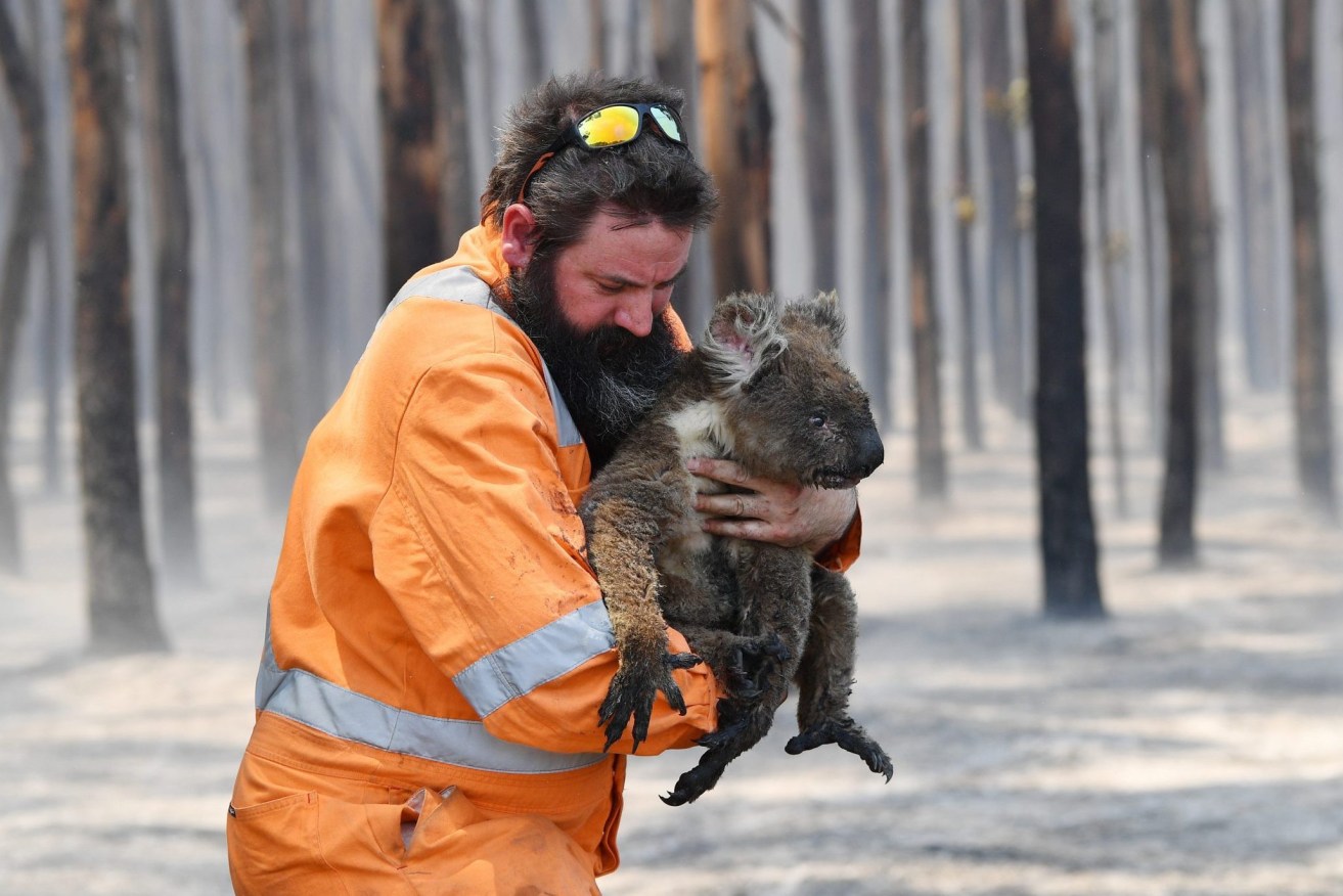
The threat of a new El Nino weather pattern could lead to more bushfires. (Photo: David Mariuz/AAP PHOTOS)
The chances of an El Niño have been assessed by the Bureau of Meteorology as about 50 per cent and other weather modellers have been indicating its likelihood for several months.
Australia has experienced three years of El Niño’s opposite weather pattern, the La Nina, which brought wetter than normal weather. The El Niño usually brings dryer than normal weather.
That raises concerns about bushfires and droughts.
Weatherzone said the predictions of a return of El Niño had been treated with caution because computer models were less accurate at predicting El Niño before the end of the southern hemisphere’s autumn, which was known as the spring predictability barrier.
“But a large pool of abnormally warm water building beneath the surface of the Pacific Ocean is making international forecasters more confident that El Niño is indeed on the way, and it could be a strong one,” Weatherzone said.
Water temperature anomalies have been detected in the top 300 metres of the tropical Pacific Ocean between February and April this year.
The weather forecaster said the the blob of warm water had been developing across the tropical Pacific Ocean beneath the surface over the last couple of months.
“This movement of warm water below the surface is called a ‘downwelling Kelvin wave’ and it is a known precursor to the development of El Niño,” it said.
There was also a small region of very warm sea surface temperature anomalies off the west coast of South America. Warm water in this part of the tropical Pacific Ocean can also be a sign of El Niño.