Double trouble: BoM warns of return of El Niño and a possible cyclone off Qld
The Bureau of Meteorology has waved off the La Niña weather pattern after three years just as the threat of a cyclone emerges off the Queensland coast.

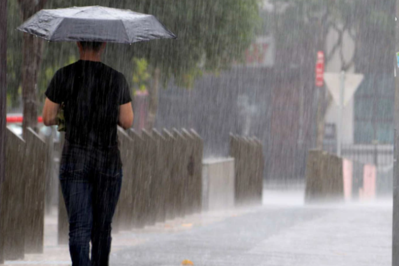
La Nina may be gone but the threat of a cyclone hasn't (Pic: ABC)
BOM said a tropical low was expected to form during the middle of the week near Vanuatu or New Caledonia.
“Whilst it is likely to remain east of the region throughout this week and into the weekend, it is possible that it moves westward and over the Coral Sea from Saturday March 18,” it said.
“There is significant uncertainty in the timing of the low moving into the region, which will depend greatly on where it initially forms and how far it tracks to the south east over the next several days.
“The likelihood of a tropical cyclone in the region increases to “low” on Saturday March 18 and to moderate (approximately a 25 per cent risk) on Monday March 20 and Tuesday March 21.”
It follows heavy flooding in north and north west Queensland in the past week after heavy monsoonal rains.
The threat followed the end of La Niña in the tropical Pacific Ocean. The El Niño–Southern Oscillation is now neutral (neither La Niña nor El Niño) with oceanic and atmospheric indicators having returned to neutral ENSO levels.
“International climate models suggest neutral ENSO conditions are likely to persist through the southern autumn. However, there are some signs that El Niño could form later in the year. Hence the bureau has issued an El Niño watch. This means there is around a 50 per cent chance of an El Niño in 2023,” BOM said.
“The Madden–Julian Oscillation (MJO) is currently very strong over the Pacific Ocean but is forecast to move into the Atlantic Ocean in the coming fortnight. This may bring drier conditions to Australia for the latter half of March.
“The Southern Annular Mode (SAM) index is currently strongly negative but is expected to return to neutral values over the coming week.
“Warmer than average sea surface temperatures persist around south-east Australia, New Zealand and the west coast of Australia, but close to average temperatures prevail around northern Australia.