Gabrielle picks up steam with 224km/h winds, but she’s heading for islands
Emergency services on Norfolk Island have activated their cyclone response plan after a tropical low formed into Cyclone Gabrielle.
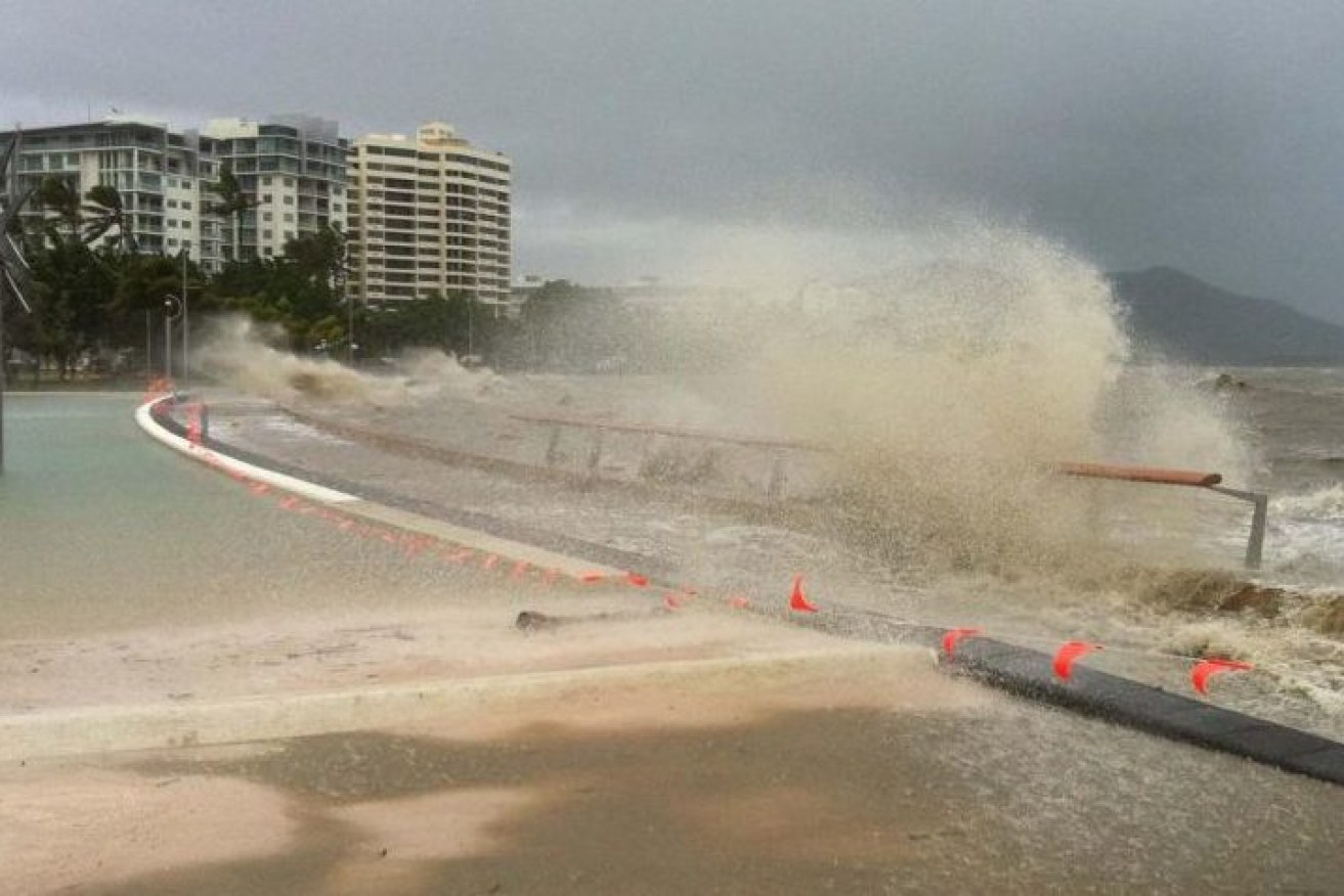
File photo of waves crashing on the Cairns waterfront during Cyclone Yasi. North Queensland is bracing for Cyclone Gabrielle which has formed off the coast but is not expected to make landfall.(Photo: ABC)
The Bureau of Meteorology expects Gabrielle to intensify into a severe category-three cyclone packing winds of between 165km/h and 224km/h on Thursday.
The storm, which formed on Wednesday, is forecast to remain offshore but bring large waves and strong winds to exposed coastal areas of Queensland and northern NSW before passing near to Norfolk Island at the weekend.
“We are expecting it to reach … category three, or severe tropical cyclone strength, some time Friday as it continues to move away from the Queensland Coast,” senior meteorologist Bradley Wood said.
“It will be moving well away from Queensland so fortunately [we’re] not expecting too many impacts along the coast of the mainland.”
Norfolk Island is expected to bear the brunt of the destructive winds, as the category two system is likely to pass very close to it over the weekend.
“At this stage, we are looking at being a category two cyclone when it does approach the island, which means that damaging to destructive winds as well as heavy rainfall and elevated sea states are going to be a risk for the island,” Wood said.
“The community is advised to familiarise themselves with the alert levels and consider what action they will take if the cyclone threat is continuing,” the island’s emergency management team said.
Island residents have been warned of an extended period of gale-force winds, with heavy rainfall and damaging surf also possible depending on the movement and intensity of the storm.
Another tropical low near the Cocos Islands, northwest of WA, has a low chance of forming into a cyclone and continues to be monitored.