Welcome to cyclone season: Tropics primed to ‘wake up’ with wild weather forecast
Cyclone season starts today and aat least one weather forecaster said everything was primed for tropics to “wake up” as the east coast endures wild weather extremes.

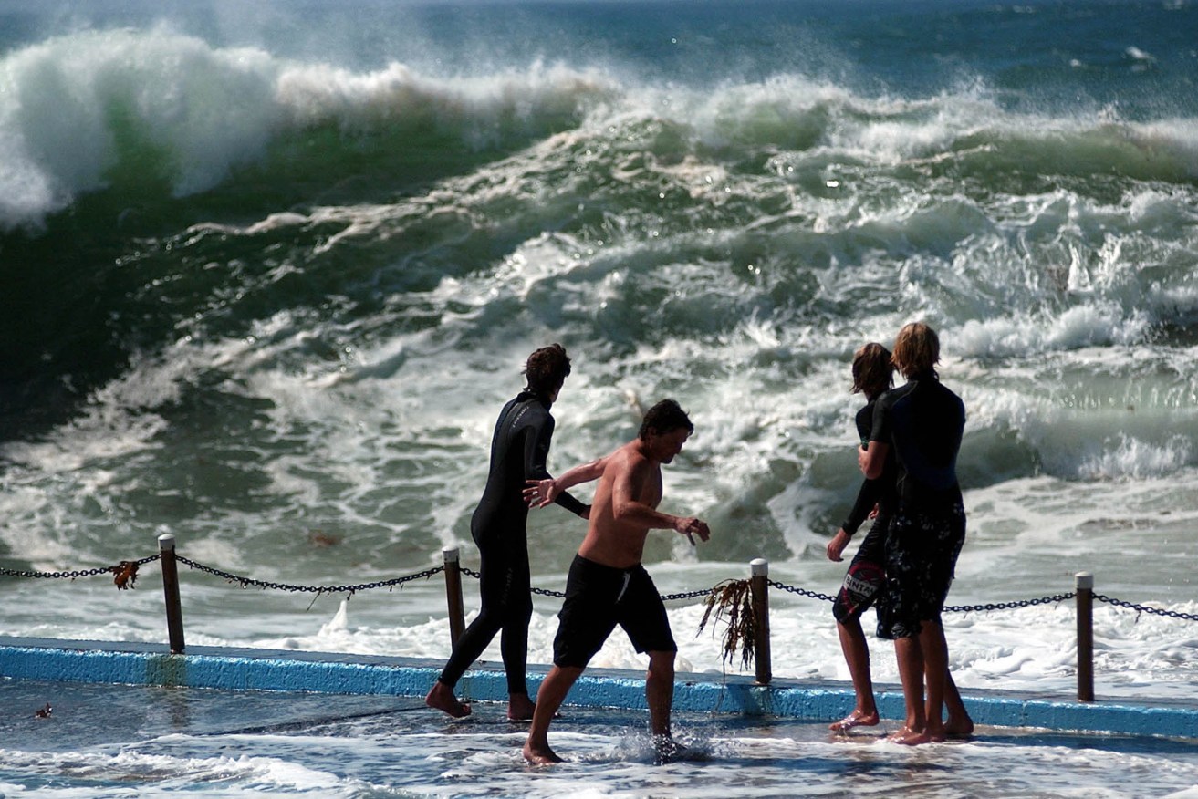
Ocean temperatures were already warm as the cyclone season started (AAP Image/Jeremy Piper) NO ARCHIVING
The Bureau of Meteorology has already advised that there was likely to be an above average number of cyclones.
An average season in Australia means 11 cyclones, with four crossing the coast, but the current La Nina weather pattern and warm water in the tropics was likely to have an influence.
Forecaster Your Weather Channel said sea surface temperatures were about 3 to 4 degrees warmer than normal around the waters in the Coral Sea, the Gulf of Carpentaria and the Arafura Sea. Climate models predict those warmer water temperatures were likely to stick around for about three months, marginally increasing the likelihood of tropical cyclones developing.
The Bureau of Meteorology said there was an expectation of an above-average number of cyclones.
“The eastern region has a 74 per cent chance of more tropical cyclones than average,” BoM said.
While cyclones were brewing, the weather along the east coast has shown extreme variations.
Julia Creek reported its hottest October day on record on Sunday with 43.9 degrees. Today there is a sheep graziers alert for cold weather on the Darling Downs and Granite Belt.
There was an expectation of snow in Victoria.
BoM said temperatures were forecast to be above average in the Far North, with severe to extreme heatwave conditions continuing. Above average temperatures were expected in the east and well below average temperatures spreading across the interior and southeast during the day, with significant wind chill in the south.