Advertisement

Hot with a chance of snow and a hybrid cyclone: Our bizarre east coast weather

A 2000km-long band of storms was expected to move across Victoria, NSW and Queensland as well as the Northern Territory on Monday, according to forecasters.

Oct 31, 2022, updated Oct 31, 2022
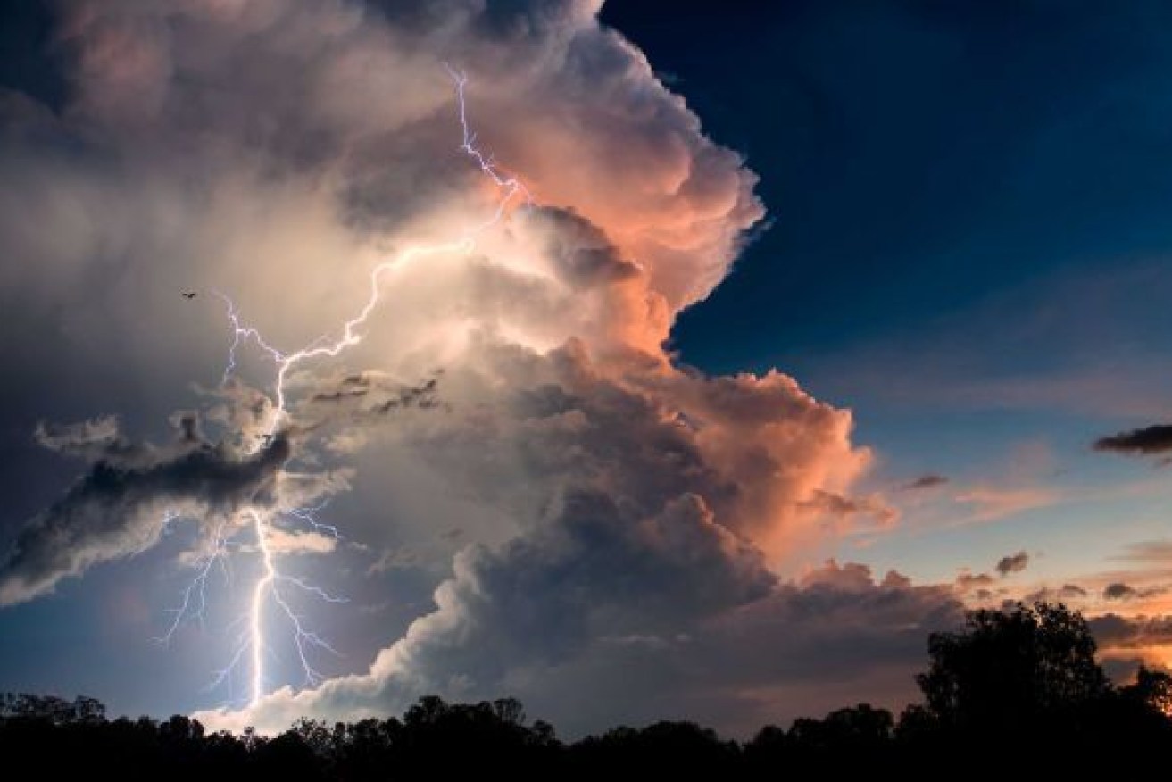
Storms were expected to return this week (Photo: ABC)

Storms were expected to return this week (Photo: ABC)

On top of that the Bureau of Meteorology has issued a sheep graziers warning for the Darling Downs and Granite Belt of cold temperatures, showers and westerly winds that were expected during Tuesday morning.

BoM said storms should start in western Queensland today and hit the east coast tomorrow in a large u-shaped belt covering the east coast and South Australia.

Higgins Storm Chasing said Monday and Tuesday were looking like producing widespread severe weather across eastern Australia.

“This is all being produced by a strong and deep low pressure system in the Bight which is forecast to move south east to near Tasmania. A large, expansive and strong trough is expected to spread across eastern Australia,” the group said.

“A 2000km-plus long band of storms is expected to move across Victoria, NSW and Queensland (and into the NT) on Monday, starting (in the) west and finishing up east.
“More storms are likely over eastern and northern Queensland on Tuesday, with several storms likely becoming severe and some possibly dangerous.
“Hailstorms are also likely under the cold pool across NSW, the ACT and Victoria on Tuesday.
“Once the storms clear, widespread cold and strong winds are expected to impact all areas with damaging winds likely over eastern Victoria, the alpine areas, southern and central NSW ranges and coastal areas, with damaging winds possible over the northern NSW range (these winds are unrelated to any storms).”
The forecaster said snow was also likely across the alpine areas with blizzard conditions likely and possible “thundersnow” – thunderstorms accompanied by snowfall.
Weatherzone said a hybrid cyclone looks set to form off the east coast of Victoria on Tuesday, producing heavy rain and possibly areas of flooding in eastern Victoria, southeast NSW and eastern Tasmania.
Weatherzone said a hybrid cyclone referred to a low pressure system that has both warm and cold air in its core. This mix of air leads to a mix of energy sources, which can allow hybrid cyclones to intensify quite rapidly. These dynamic systems are a well-known sources of severe weather and have caused large tornado outbreaks in the United States.
Local News Matters
Advertisement

We strive to deliver the best local independent coverage of the issues that matter to Queenslanders.

Copyright © 2024 InQueensland.
All rights reserved.
Privacy Policy