Stormy weather: Entire state battens down for soggy weekend
Queenslanders from almost the top of the state to the NSW border are bracing for the full impact of a massive weather system likely to surge across the weekend.

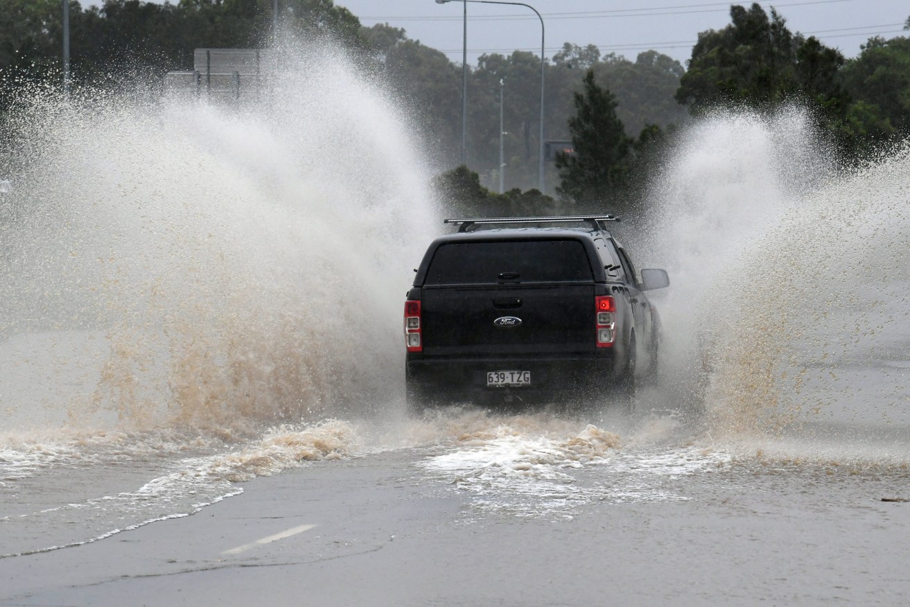
Emergency services are urging caution on the roads during the latest big wet.
Shortly after midday, the Bureau of Meteorology was issuing multiple warnings for severe thunderstorms, heavy rainfall with hail in some parts generating river rises that may cause minor to moderate flooding in several locations.
The BoM is indicating a strike zone west of Townsville to the border at Goondiwindi as a broad upper low in NSW extends a surface trough northward through the Queensland interior.
Severe thunderstorms are triggering along the trough, combined with coastal instability that is battering the southeast corner.
The BoM is warning that severe thunderstorms are likely to produce damaging winds, large hailstones and heavy rainfall that may lead to flash flooding over the next several hours in the Central Highlands and Coalfields and parts of the Northern Goldfields and Upper Flinders, Central West, Maranoa and Warrego, Darling Downs and Granite Belt and Herbert and Lower Burdekin districts.
Locations which may be affected include Roma and Charleville in the west, and Emerald, Clermont, Blackwater and Moranbah in central Queensland.
Further down the coast, severe thunderstorms are likely to produce heavy rainfall that may lead to flash flooding over the next several hours in parts of the Wide Bay and Burnett and Southeast Coast districts.
Locations which may be affected include Gympie, Rainbow Beach, Cooroy, Imbil, Nambour and Tiaro.
Moderate flood warnings have been issued for the Bulloo, Paroo and Macintyre rivers, while minor flooding could occur in the Barcoo River and Cooper Creek, Condamine and Balonne River catchments, Macintyre Brook, and the Weir River and Moonie rivers.
An early flood warning has also been issued for Teviot Brook.
Compounding the challenges for flood affected landholders and emergency services are already waterlogged catchments from previous rainfall that is hampering the latest downpour to disperse.
A small tidal surge of up to 20 centimetres in the flood watch zones is also forecast across the weekend which may increase river and creek levels in tidal areas, the BoM has warned.
Forecasters continue to track the trough’s movement, which may approach close to the southeast Queensland coast on the weekend, before it moves further south next week into northern NSW, still reeling from floods earlier this year, which devastated Lismore and left hundreds homeless.
If the low moves close to the southeast Queensland coast, there will be a chance of heavy to intense rainfall from Saturday night into Monday.
Catchments in the south likely to be affected include Baffle Creek, Kolan River, Burnett River, Burrum and Cherwell River, Mary River, Noosa River, Sunshine Coast rivers and creeks, Pine and Caboolture Rivers, Upper Brisbane River and Lower Brisbane River creeks and tributaries, Logan and Albert Rivers, and Gold Coast rivers and creeks.
A strong wind warning is also in place for the Capricornia Coast, Fraser Island Coast and Sunshine Coast waters.