Storm front: Gold Coast cops an early taste of what could be a much longer La Niña
A private weather forecaster has warned that the Bureau of Meteorology could be too conservative in its outlook for La Niña and said the east coast was likely to face six months of dangerous weather and flooding.

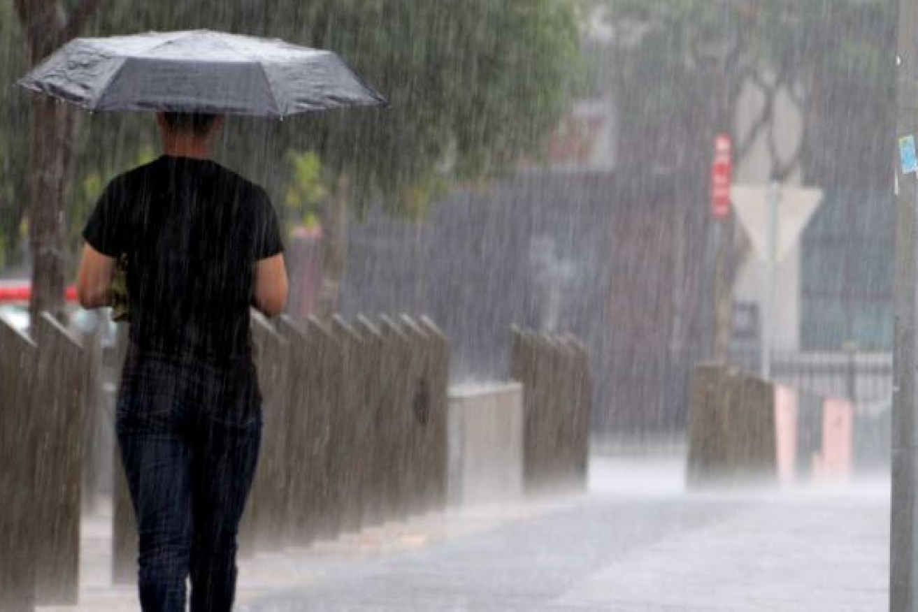
La Nina could bring more rain than BoM has predicted Photo: ABC
While BoM has said La Nina would continue until the end of the year, Your Weather Channel, which accurately predicted the onset of the weather pattern weeks before the bureau made its announcement, said it would last much longer.
The Gold Coast and hinterland has already received a taste of what’s to come with heavy falls overnight, including more than 200mm at Springbrook.
Communities on the Queensland-NSW border were also on high alert for flash flooding.
An intense weather system moved east overnight across the Gold Coast and the already-soaked NSW’s Northern Rivers, prompting emergency text messages to be sent to some residents.
People in low-lying areas of Lismore could be cut off from town by rising water, with the Wilsons River expected to exceed the minor flood level on Friday evening.
An aircraft and two high clearance units have been moved to the flood-weary community.
Several areas north of the border received 100mm of rain in a few hours with the highest totals 30 kilometres inland of Coolangatta, at Couchy Creek and Upper Springbrook, which each copped 222mm in three hours.
The Gold Coast was under a severe thunderstorm warning on Friday morning with heavy rainfall and damaging wind gusts possible about the coastal fringe, BoM said.
River and creek levels in the Nerang and Coomera Rivers catchment were rising rapidly overnight.
Higgins Storm Chasing said the rain could return with a tight, low-pressure system emerging between Brisbane and the Gold Coast.
“Heavy rain and storms on the southern side of the low could push back onshore over the next few hours due to the atmospheric rotation. Strong south east winds are expected to persist along the coast with some isolated damaging gusts possible,” it said.
It comes as Your Weather Channel boasted to its 90,000 social media followers that it had called the La Niña months ago.
“Now don’t be fooled this won’t be a short, sharp La Niña like the BoM will have you to believe and be over and done with in February. It will last until Autumn 2023,” it said.
“And the worst part about this is La Niñas often bring the heaviest rains after they peak as they fade away so January until April, but with saturated soils already in eastern Australia this will be a Spring and Summer like no other with most dams in the Murray-Darling basin full to capacity already including the Dartmouth Dam in Victoria (the largest dam in the Murray-Darling basin).
“With a moderate to strong Negative IOD (Indian Ocean Dipole) expected until early summer and a positive SAM (southern annular mode) until at least the end of the year and early next year, we are looking at potentially six more months of dangerous and possibly deadly weather/flooding
“This is a heads up! Nothing is 100 per cent, but the set up on the ground, oceans and in the atmosphere is leading us into a disaster if not several over the course of the next six months.”
In the BoM prediction, it said weather models indicated the La Niña event may peak during the spring and return to neutral conditions early in 2023.
But it also said that all surveyed climate models agree that negative Indian Ocean Dipole, which also brings rain to the east coast, was likely to continue into late spring.
“This type of intense rainfall on top of our wet catchments does lead to flash flooding and results in some rivers rising very quickly,” NSW SES superintendent Tony Day said.
“It’s a dynamic situation that puts vulnerable communities at risk.”
All residents and visitors should consider their travel plans, check on neighbours and review their emergency plans.
“Just because it was safe last time doesn’t mean it will be safe again,” Day said.
Flood warnings have been issued for 29 river catchments across NSW and southern Queensland, including for major flooding occurring at NSW cotton towns Wee Waa and Warren.
About 260mm fell in 24 hours at organics farmer David Freeman’s Currumbin Valley property, further saturating the ground.
The rain has trashed his leafy greens while the constant wet weather has also damaged at least half of his 300 avocado trees, Mr Freeman told AAP.
“They’re very sick as a result of the last 12 months of heavy rain because of the saturated soil … and this deluge is just going to re-saturate the soil and will cause more soil fungus problems,” he said.
“I think (the rain) is weighing heavily on farmers because we just got trashed in the early part of this year.”
The SES said it had conducted four flood rescues including one on Thursday morning in which a police officer used a rope and a winch to save a four-year-old boy and two women from a swollen river west of Dungog in NSW.