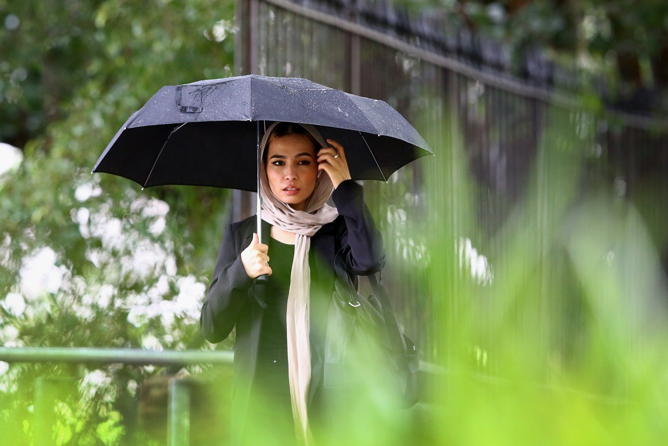
Grab your brollies and sandbags: Weather bureau declares La Nina is back
The Bureau of Meteorology has confirmed what many have dreaded – a third consecutive La Nina has become established.


BoM has said a third La Nina is here (AAP Image/Jono Searle)
The bureau announced today that key atmospheric and oceanic indicators of the El Niño–Southern Oscillation show an established La Niña, which was likely to mean a wetter Spring but potentially revert to neutral condition in early 2023.
However, the La Nina would also be occurring in the Pacific at the same time as its counterpart in the Indian Ocean, which also produces more wet weather for the east coast.
A triple La Nina is not common and only three have occurred since the 1950s.
Adding to the concern over a third La Nina is that many dams are already at or near capacity and much of the ground in eastern Australia remains damp from a wetter the normal winter which could lead to more extensive flooding.
“Tropical Pacific sea surface temperatures have been cooling since June and are now at La Niña thresholds. Atmospheric indicators including the Southern Oscillation Index (SOI), trade wind strength, and equatorial cloudiness are also displaying patterns typical of a La Niña event,” BoM said.
It came as the Brisbane City Council announced it would be giving away sand bags more than a month before the wet season normally occurs and workers had already prepared 150,000 bags in preparation for La Nina.
BoM said its models indicated this La Niña event may peak during the spring and return to neutral conditions early in 2023. La Niña events increase the chances of above-average rainfall for northern and eastern Australia during spring and summer.
“The negative Indian Ocean Dipole (IOD) event continues. The IOD index has satisfied negative IOD thresholds (i.e. at or below −0.4 °C) since June, with the latest weekly value being −0.8 °C.
“All surveyed climate models agree that negative IOD conditions are likely to continue into late spring. When a La Niña and negative IOD combine, it further increases the likelihood of above average rainfall over Australia, particularly in the eastern half of the continent.
“Climate change continues to influence Australian and global climate. Australia’s climate has warmed by around 1.47 °C for the 1910–2020 period. Southern Australia has seen a reduction of 10–20% in cool season (April–October) rainfall in recent decades. There has also been a trend towards a greater proportion of rainfall from high intensity short duration rainfall events, especially across northern Australia.”


