Wild surf, damaging winds: Get ready for even more crazy weather
Wild weather is forecast for the southeast Queensland and northern NSW coast with warnings rain, damaging winds and hazardous surf could cause erosion in vulnerable areas.
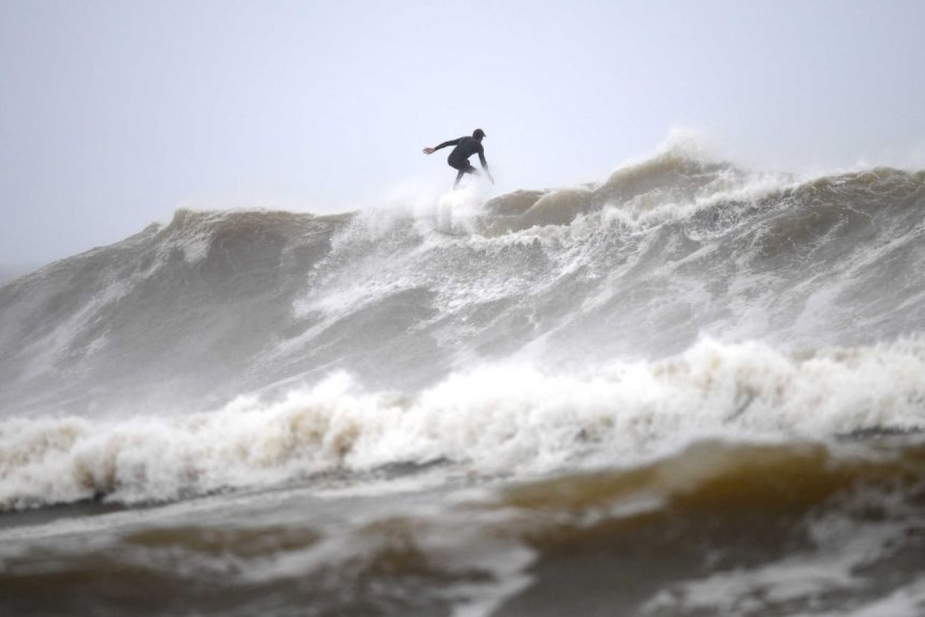
Wild surf conditions at Snapper Rocks on the Gold Coast.(AAP: Dan Peled)
Queensland Police have issued an early warning to all boaties and waterways users to consider the need to go out on the water as strong winds and large swell are expected to increase to severe gale force winds and damaging swells.
“We are expecting to see extremely dangerous conditions on the water and are urging everyone to make smart decisions and stay safe,” Brisbane Water Police Sergeant Daniel Moyle said.
“Boaties and non-powered watercraft users should reconsider any plans over the coming days.”
He also urged boat owners to check that their vessels’ moorings were secure.
The Bureau of Meteorology is predicting damaging wind, huge swells and heavy rain along the stretch of the southern Queensland coast from Wednesday and northern NSW from Friday.
The forecast comes as many areas in and around Sydney are still recovering from catastrophic flooding, some for the second and third time this year.
While most of the rain is expected offshore, some localised creek and river level rises are possible.
“This system is expected to bring large seas along with the risk of damaging winds around exposed coastal fringes of southeastern Queensland,” BOM senior meteorologist Jonathan How said on Wednesday.
Strong southeasterly winds will develop along the Queensland coast south of Mackay from Wednesday and extend into NSW on Thursday.
“There is a risk of damaging wind gusts of more than 90km/h on Friday and early Saturday around the exposed coastal fringes of firstly southern Queensland, then northern NSW,” How said.
A hazardous swell is expected to develop along the southern Queensland and northern NSW coast on Friday and continue over the weekend.
“The swell may lead to coastal erosion in vulnerable areas along the southern Queensland and northern NSW coasts,” Mr How said.
The high-pressure system hovering over NSW continues a run of cold days with minimum temperatures tipped to remain between 10 to 13C over the next week.