Sick of the rain? Bureau says it was intense, but get used to it
The February flooding in southeast Queensland was the result of the wettest week in more than 120 years, with some places recording more than a metre of rain, according the Bureau of Meteorology.

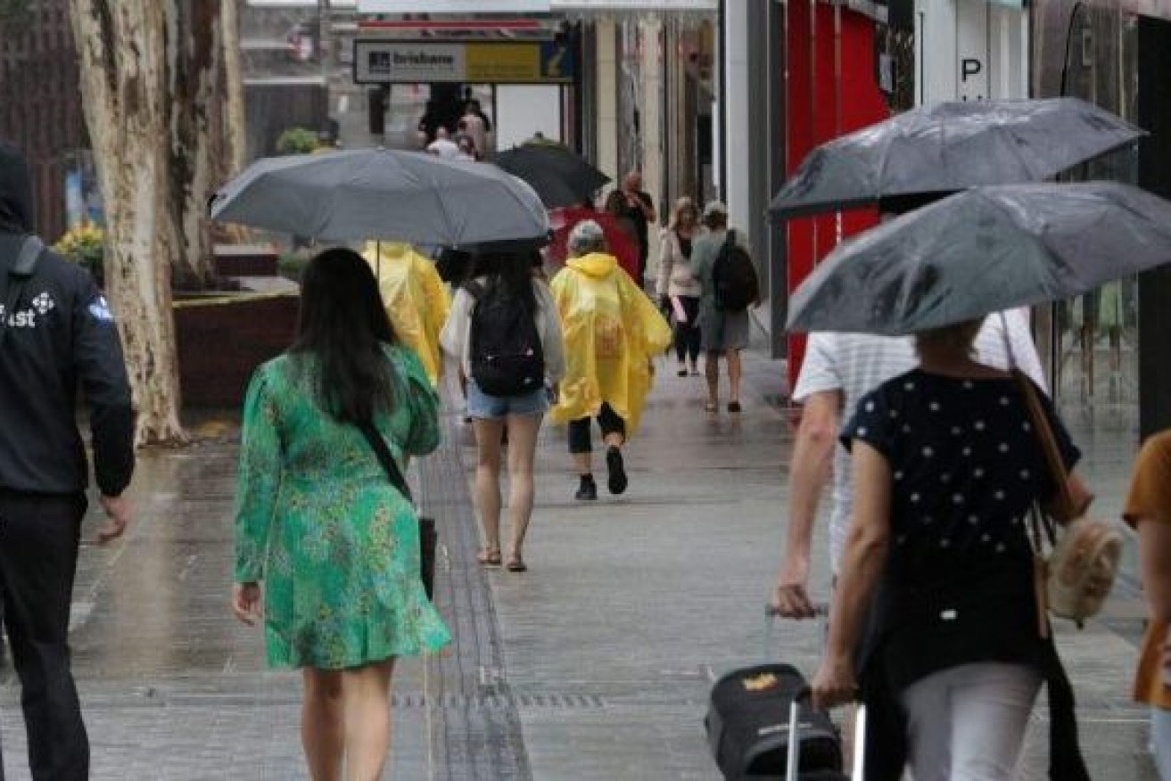
Average rainfall for the month of May was eclipsed in one day as rain, hail and flash flooding hit Queensland's south east overnight. Photo: ABC
In its formal record of the extreme rainfall in February and March, BoM said several rainfall records were broken. More than 50 sites recorded more than a metre of rain in one week.
In the last week of February, parts of southeast Queensland and northern NSW had rainfall 2.5 times their monthly average with some regions recording more than five times their monthly average.
“For many areas, this was the wettest week since at least 1900,” the bureau said.
“Some areas of south eastern Queensland had their highest flood peaks since 1893, though the lower Brisbane and Bremer rivers and Lockyer Creek peaked below the levels of both January 1974 and January 2011 floods.”
The Wilson River in Lismore broke a record dating back to 1954. The Mary River, at Gympie, which has flood reports back to 1870, exceeded all previous recorded flood
peaks, except the major flood in February 1893.
BoM said there had been an increase in the intensity of heavy rainfall events in Australia. The intensity of short-duration (hourly) extreme rainfall events had increased by around 10 per cent or more in some regions in recent decades, with larger increases typically observed in the north of the country.
“As the climate warms, heavy rainfall events are expected to continue to become more intense,” BoM said.
It said east coast low pressure systems were expected to become less common as the climate warmed, but important changes were likely to occur to the climate which would increase the intensity of those weather patterns.
“Following two years of La Niña conditions, the rain fell on catchments that were already wet so water storages and river levels were high and catchments quickly became saturated,” BoM’s formal statement said.
“In recent decades, there has been a trend towards a greater proportion of high-intensity, short-duration rainfall events, especially across northern Australia.”
BoM said the Brisbane City rain gauge recorded 792.9 mm in the six days from February 23 to 28, which was 78 per cent of the annual average of 1011.5 mm at that site.
The highest daily total was 228.4 mm on 27 February, a record for any month at the current site.
“There were three consecutive days, 26 to 28 February, with totals over 200 mm; across the current and former sites there have been only eight previous days with totals over 200 mm, none of them consecutive.
When compared across the current and former sites, the Brisbane City gauge set records for all periods from three to seven days.