Queensland’s first signs of wet Spring as trough rings in the big rain
South-east Queensland is likely to get its first good dumping of Spring rain later this week with forecasts of afternoon thunderstorms bringing up to 45mm of rainfall by Friday.
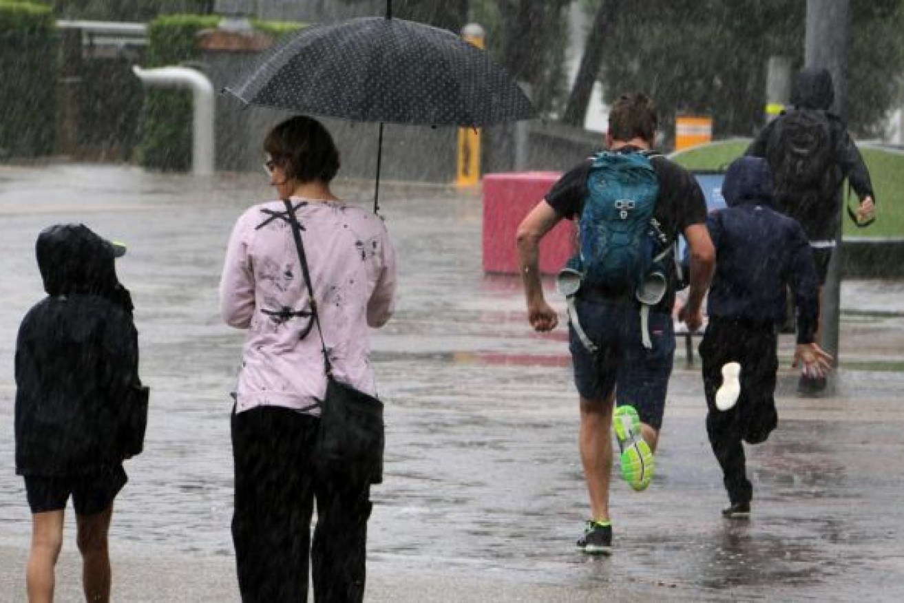
Photo: ABC
As cloudy skies and light showers greeted south-east Queenslanders at the start of the working week, forecasters were predicting the damp conditions may last until next weekend.
The Bureau of Meteorology is tipping thunderstorms for the region on Wednesday, Thursday and Friday as well as better than average rainfall in the lead up to Christmas.
The bureau says a trough off the south-east coast will move back inland from Wednesday bringing showers with it as far west as the Darling Downs and Granite Belt.
From Wednesday, the bureau has forecast a “slight to medium chance of showers about the southern half of Queensland and the northeast coast, increasing to a high to very high chance about the Maranoa and Warrego district’.
“Isolated thunderstorms are expected across the southern and central interior, possibly severe,” it said.
By Thursday “severe thunderstorms are possible about the southeast, but the exact location is dependent on the development and progression of an upper level trough system”.