Dark and stormy: SEQ shivers as fog, storms and cold air sweep region
South-east Queensland is coping with a wet and chilly Wednesday as a cold pool of air sweeps over the region, bringing storms with possible hail throughout most of the day.

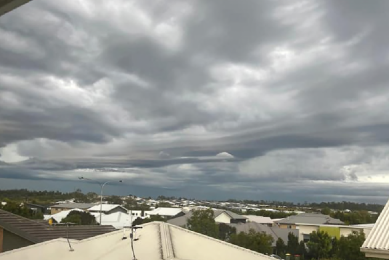
Grey skies and a cold front swept over Brisbane and surrounds (ABC photo)
While the Bureau of Meteorology has cancelled a severe thunderstorm warning, it says severe storms with large hail or accumulations of small hail are possible.
A line of storms swept across the Sunshine Coast late on Wednesday morning while suburbs in Brisbane west and north were hit earlier in the day. This followed a dense fog bank that covered the city early in the morning.
The Broncos had cancelled training their Red Hill headquarters due to local lightning strikes, Seven News reported.
Temperatures dropped sharply throughout the morning, with Brisbane City dropping from 18 degrees at 8.am to 15.7 degrees at 10.50am.
Overnight, two storm cells moved in from the west – one over Redlands and the other further south, dumping heavy rainfall over Logan and bayside suburbs. The bureau reported Forestdale at Logan recorded 51 millimetres of rain in 30 minutes while Boonah recorded 38mm in half an hour.
Steady rain was continuing to fall on much of the city – part of a large weather band that stretched into northern NSW – creating slippery road conditions.
The bureau said cold front was expected to shift offshore on Wednesday evening.