Look at me: Kimi bears down on North Qld, bringing strong winds and flood risk
Far north Queensland residents are battening the hatches as tropical Cyclone Kimi is set to strengthen, shift course and make landfall further south than expected, bringing destructive winds, heavy rainfall, high tides and flash flooding.

The BOM has warned Cyclone Kimi is due to make landfall between Port Douglas and Innisfail. Photo: ABC
The Bureau of Meteorology say category one Cyclone Kimi was about 110km northeast of Cairns on Monday morning, but barrelling south.
Kimi is expected to intensify into a category two system, packing winds of up to 150km/h, before turning southwest and making landfall late on Monday or early Tuesday.
The cyclone had been set to cross the coast between Cooktown an Innisfail, but it’s now expected to make landfall further south between Innisfail and Lucinda.
“The system is most likely to approach, and may cross, the coast late today or early Tuesday between about Innisfail and Lucinda, however there remains considerable uncertainty with the crossing time and location,” the BOM said on Monday.
“The system may intensify further during today and is likely to be at least a category two system as it approaches the coast.”
The forecast map shows the towns of Cardwell, Tully Heads and Hull Heads were most likely to be hit by the storm’s eyewall.
However, residents of the whole warning area including Cairns and Townsville are being told to prepare for destructive wind gusts of 150km/h, gales up to 120km/h, heavy rainfall and abnormally high tides.
People between Port Douglas and Lucinda are being urged to get ready and secure their boats and homes in particular.
The bureau is also warning that heavy rainfall could bring flash flooding and major river flooding to coastal and hinterland areas between Cairns and Townsville on Monday and Tuesday.
A flood watch has been issued for at least 10 waterways including the Jeannie, Endeavour, Daintree, Mossman, Barron, Mulgrave, Russell, Johnstone, Tully, Murray, Herbert rivers.
With the cyclone set to dump rain on large parts of Queensland’s interior, flood warnings have also been issued for a number of inland rivers.
The Norman and Gilbert rivers in the Gulf Country and most of the Queensland tributaries of Lake Eyre could break their banks.
Meteorologist Shane Kennedy said even if the cyclone did not intensify, it would still bring some significant impacts to the north tropical coast.
Kennedy said there was a flood risk for Queensland’s north, given the region was soaked by ex-Tropical Cyclone Imogen at the start of January.
“If it had been much drier in the past week or two then certainly that ground would have soaked up a lot more. Particularly around the Murray and the Herbert rivers … those areas are really primed,” he said.
The cyclone is predicted to drop into a tropical low over Tuesday.
“Once it moves over land, we are expecting things to weaken … it likely won’t be until Wednesday-on when things will really calm down.”
Authorities urge people to prepare
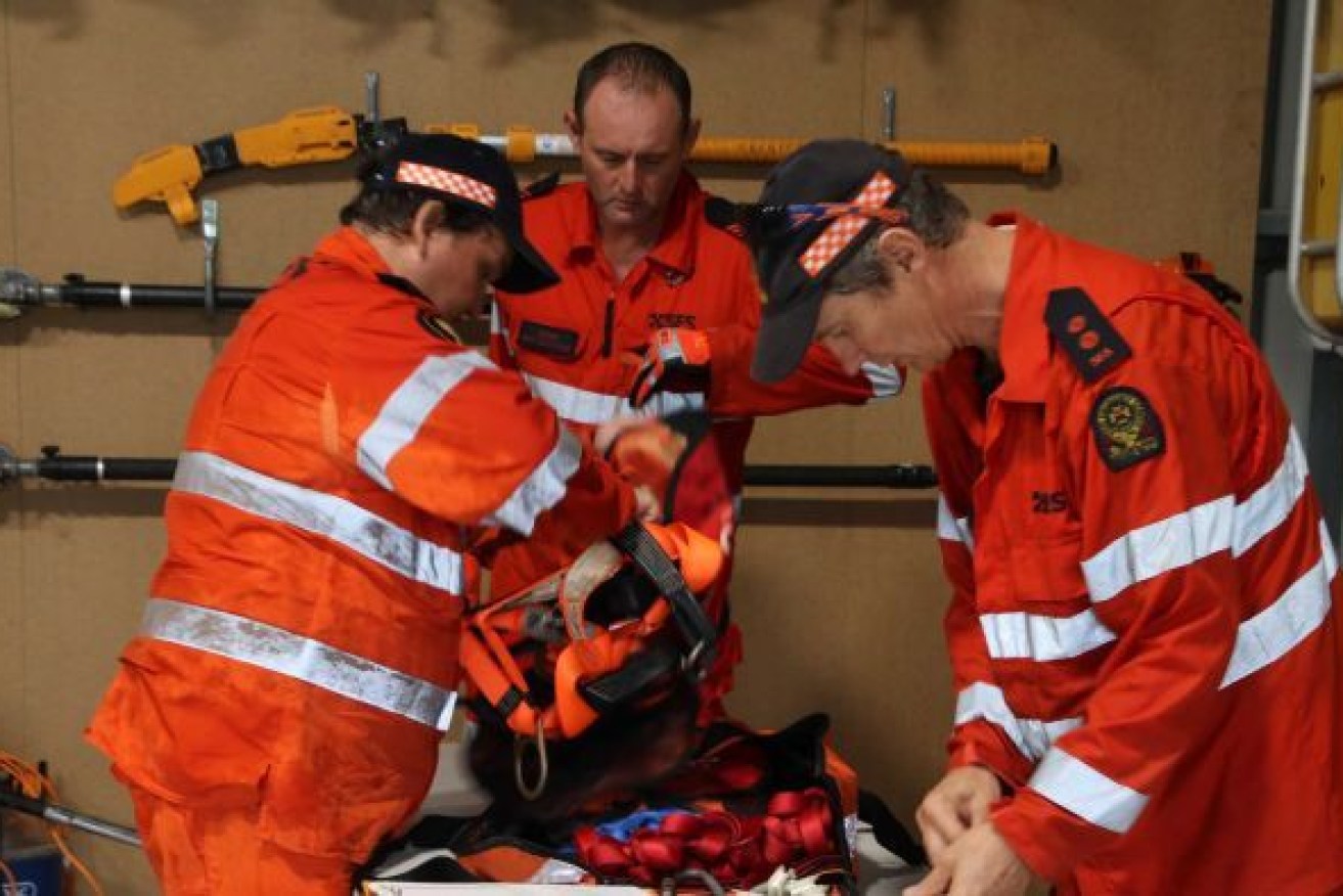
Eleanor Rosam from the State Emergency Service (SES) said crews, including swiftwater rescue personnel, were on stand-by.
“Our largest concern is those areas between Cooktown and Cairns, so we’ve got crews on standby throughout that entire area. We have touched base with our crews on the Tablelands and the Cassowary Coast as well,” she said.
“We are all working together in this kind of an event.”
Rosam urged Queenslanders in the Far North to get prepared before the worst of the weather hits and sets in on the coast.
“Look for any loose items in the garden, have a look at any low hanging branches around the house that can be easily taken down … go through your gutters, make sure they are all clear so that none of that floodwater backs up,” she said.
“Have a look for candles, matches, batteries, torches and just put them all in one place.”
Rosam urged people to check on their neighbours over the coming days.
Locals and tourists banding together
Douglas Shire Council Mayor Michael Kerr said residents and tourists were more than prepared.
“Any locals who live here know what they need to do … we’ve gone through it many times before,” he said.
“Even with the people that are staying in hotels, all of these buildings are designed to cope with up to category three.”
Kerr said council members and emergency services have been preparing the area since the announcement.
Sandbags have been available in the area since Saturday.
He said authorities were ready to launch evacuations if needed.
“We’re hoping we won’t need to evacuate people. The safest place for them is in their homes,” he said.
“I certainly hope that when it hits land it fizzles out and just becomes a couple of breaths of wind and there’s not that much damage and certainly no lives are at risk.”
Narelle Massey, a resident of west Cairns, said locals were feeling prepared.
“A lot of us have been through it before and I think most people around are quite prepared … you just sort of think, ‘Oh, wonder what tomorrow will bring?” she said.
“Everyone just knows what to do to keep safe.
“At this point in time, it’s the calm before the storm.”
Emergency Services urge those in Far north Queensland to continue preparations and to stay up to date with emergency instructions.
AAP, additional reporting ABC / Lia Walsh


