From big wet to big sweat: Southeast to become a sauna as humidity takes hold
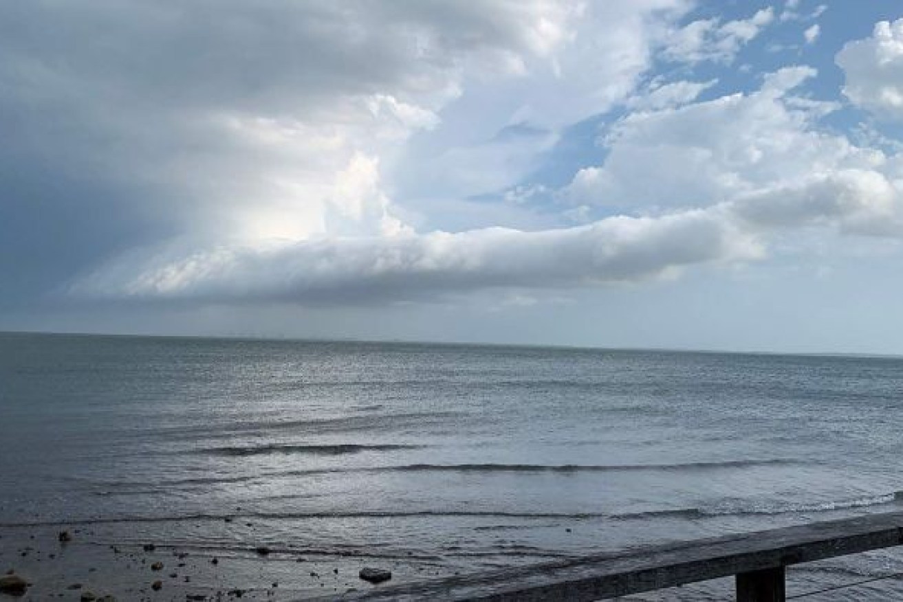
Southeast Queensland faces uncomfortably humid conditions for the rest of the week due to the “double whammy” of a northeast airflow as the worst of the severe weather eases, the Bureau of Meteorology says.
The BOM has cancelled the severe weather warning that was in place. (Photo: ABC)
In the wake of some areas receiving more than twice their monthly average rainfall in just a couple of days, the Bureau of Meteorology (BOM) says the state should expect only moderate falls for the rest of the week.
The BOM late yesterday morning cancelled a severe weather warning that had been in place.
Forecaster Matt Marshall said: “It’s all easing up and the wild weather is mostly on the way out.”
But in between showers and isolated thunderstorms, a near-stationary low-pressure system off the Queensland coast will provide sticky days and nights for much of the southeast, with temperatures slightly above average.
“It’s a northeast wind flow, which generally means more humidity because you have the double whammy of warmer air coming down the north, along with moist air off the water,” Marshall said.
“That’s what’s sitting over us now and that’s why it feels so humid.
“It’s not changing any time soon, with a fairly stable synoptic set up for the moment.”
Heavy rain and flooding is continuing across northern NSW as rivers swell and residents there endure another soggy day and face a huge clean-up.
The Bureau of Meteorology has issued a severe weather warning for heavy rain and abnormally high tides for parts of the northern rivers and mid-north coast.
Flooding is widespread around the northern rivers and evacuation orders remain in places north of Murwillumbah, Condong and Tumbulgum.
An evacuation warning remains for south Murwillumbah and also low lying areas north of Macksville, where minor flooding is occurring.
The order came after the Tweed River burst its banks near Tumbulgum on Tuesday, with minor to moderate flooding in the area.
The SES says while rain is still around, roads will be flooded and the rivers are swollen.
The BOM has also cancelled its abnormal high tide warning for the Gold Coast, Sunshine Coast and Fraser Coast, saying it will review its hazardous surf warning for those areas later today.
It will provide relief for people in coastal areas where tides up to 30cm higher than usual king tides and torrential rain have caused havoc this week.
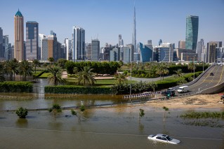
Emergency services have responded to more than 14,000 call-outs across south-east Queensland since the weekend, with more than 1000 homes losing power.
Upper Springbrook in the Gold Coast hinterland recorded 952mm of rain in the 96 hours to 9:00am on Tuesday, including 475mm to start the weekend.
Other locations on the Gold Coast and Sunshine Coast reported about twice their average rainfall for the entire month of December during a similar period.
Over the past seven days, Coolangatta, which has a December average of 145.2mm, recorded 295mm.
In the same period, the Sunshine Coast Airport registered 229mm, taking its December total to 300.2mm, well above its 142.5mm average for the month.
Brisbane’s rainfall was more modest, with 93.3mm over the past seven days for a total of 97.2mm for the month.
December is the city’s third-wettest month, with an average rainfall of 129.2mm.
The BOM said Brisbane and the southeast could expect showers, bringing between 5mm and 15mm every day for the rest of the week, most likely in the afternoons.
No significant rain for drought areas
Drought-affected inland areas are not forecast to receive significant falls, with the possible exception of Queensland’s Southern Downs.
“The rain is not going to be as widespread as the past few days, but there is a moderate chance of falls in most areas,” Marshall said.
“Inland areas, like the Southern Downs, will see more hit-or-miss thunderstorms rather than significant rain.
“The closer you are to the coast, and the further south, the more likely you are to see rain over the next couple of days.
“We can’t promise you much sunshine heading into the weekend.”
Cyclone Yasa, a category four cyclone sitting 2500km off the Queensland coast near Fiji, is not predicted to impact the state’s weather.
But with a La Niña weather pattern impacting eastern Australia this summer, the BOM expects a wetter than average summer, with an increased risk of cyclones.
“We’ve calculated there is a 67 per cent chance of seeing an above-average number of cyclones in Queensland this season, which means more than the average of four,” Marshall said.
“It’s going to be wetter than it was last year in Queensland as we go into the La Niña season.”
– ABC / Jason Dasey and staff