Weekend of wild weather to hit southeast Queensland
Gales, heavy rain and early signs of the beginning of the cyclone season are set to be the main features of the extreme weather forecast for Queensland over the weekend.

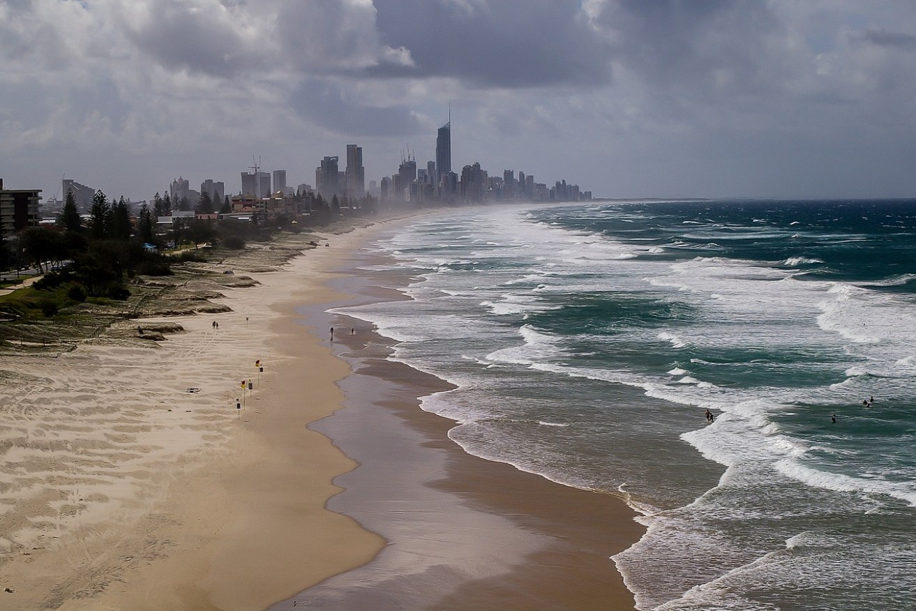
Gold Coast beaches have reopened after three drownings over the weekend.
The Bureau of Meteorology has warned of dangerous swells coinciding with some of the highest tides of the year, culminating in a huge dump of rainfall on Sunday in the southeast of the state.
The bureau’s senior meteorologist, Laura Boekel, said a severe weather warning was likely to be issued and that dangerously high surf may cause beach erosion and flooding of low lying areas inland from the coast.
“A significant rainfall event will unfold across southeast Queensland this weekend,” she said.
“We can expect cumulative totals of over 200mm and that’s likely to be seen from the Sunshine Coast and southwards into NSW.”
“We’ll see this rainfall from Saturday into Monday however the highest amount of rain is expected to fall on Sunday.”
Ms Boekel also pointed to a tropical low pressure system about 500 km northeast of Vanuatu which she said would continue developing over the next few days and “potentially reaching tropical cyclone status by early next week”.
However, she said the system was not expected to move into the eastern region which takes in north Queensland over the next seven days.
She said the rain in the southeast would be accompanied by gale force winds, dangerous swells and abnormally high tides.
The rain is likely to continue until Tuesday.
On the Gold Coast, the bureau is forecasting squalls of up to 50 knots with showers and thunderstorms on Sunday.