Temperatures drop to 30-year lows as big chill heads for southeast
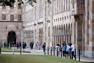
A cold front has begun sweeping across southern Queensland, bringing record low temperatures to the Southern Downs in a snap that will remain across southeast Queensland until next week.
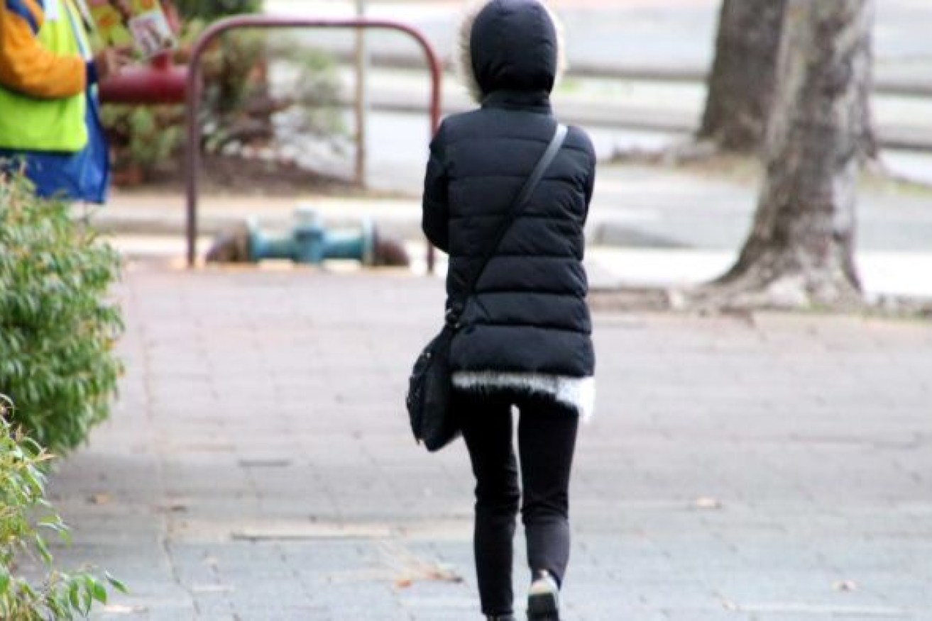
The cold weather is due to continue into early next week, BOM says. (Photo: ABC)
It was a chilly start to the day in Applethorpe on the Southern Downs, where the mercury dipped to 5.1 degrees Celsius.
Maximums in Brisbane and Ipswich are forecast to get to 24C and 25C today, which is “a good five degrees cooler than yesterday”, Bureau of Meteorology senior forecaster Shane Kennedy said.
In outback Queensland, Thargomindah yesterday broke the 1989 record for the coldest April day when the maximum temperature only reached 18.5C.
Birdsville also beat its 2015 record with a 20.6C day, and the Ballera Gas Fields had its coldest April day, with 18.9C, since monitoring began there 18 years ago.
The unusually low temperatures are expected to hang around until next week as a strong low-pressure system comes in from southern Australia to push cold and dry air across Queensland.
Kennedy said skies should remain clear but cold winds would continue through the weekend in the southeast.
“It’s quite a dry wind, coming from the southwest, so definitely feel quite chilly,” he said.
“Starting from Monday, the winds will start to turn a little bit more easterly and start to slowly bring some moisture back.”
BOM forecaster Kimba Wong said the Sunshine Coast hinterland was expected to get down to 6C tomorrow, and coastal areas like Maroochydore 8C.
“It certainly is a little bit unusual,” she said.
“It’s obviously not unheard of to have minimum temperatures down to the single digits for the start of winter but it certainly is going to be that first little cold snap.”
Storms that had been predicted to arrive with the cold front yesterday afternoon did not quite land, with most showers happening out at sea.
“We did have some storms further west over the Darling Downs, they got between 5 and 20 millimetres but certainly a bit of a fizzer in the southeast,” he said.
– ABC / Holly Richardson