Half a metre and still raining – but relief is near
Major flood warnings remain in parts of Queensland after a downpour that has swept away cars, flooded roads and swollen rivers.
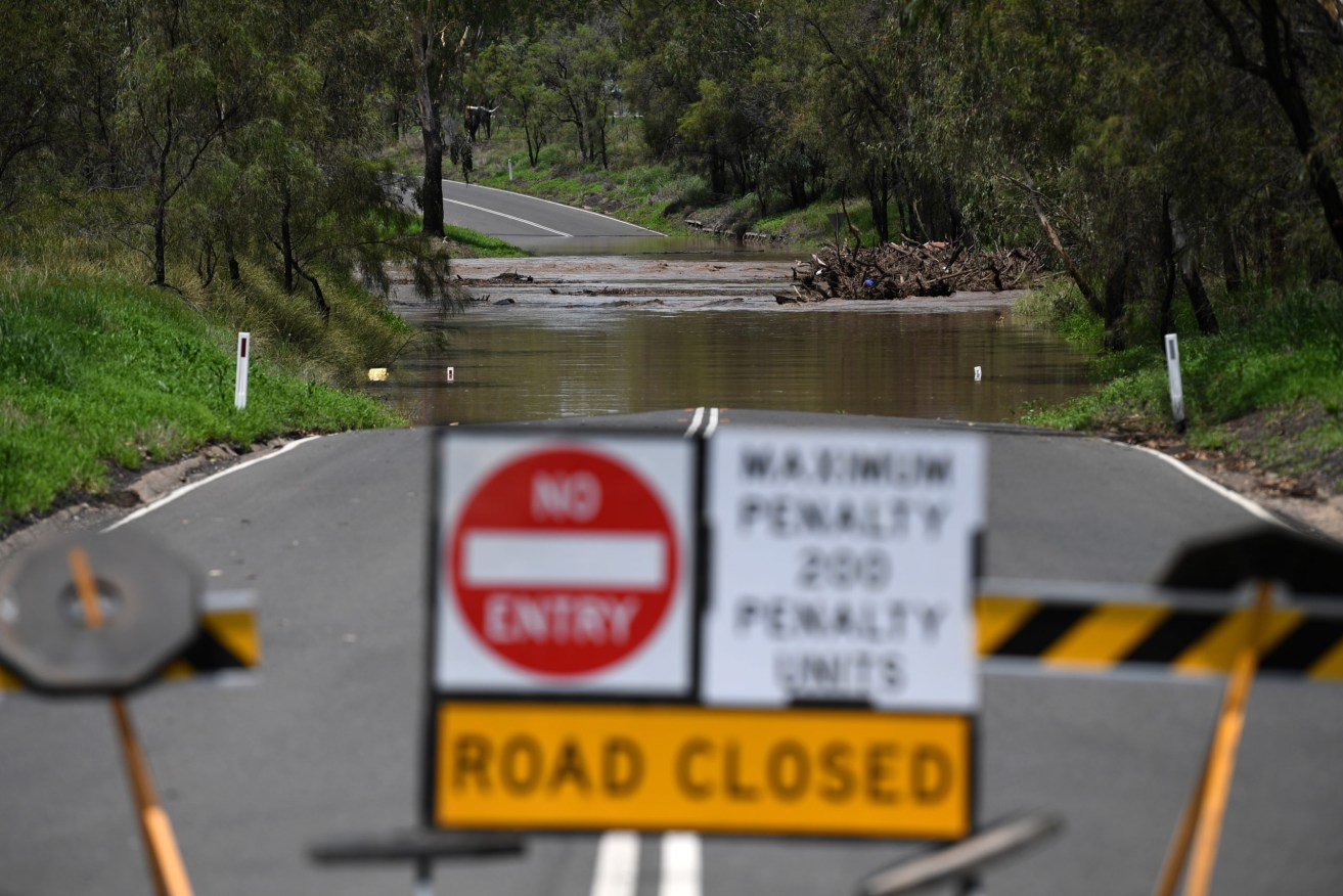
The Bureau of Meteorology is warning May rainfall records could be smashed. (Dan Peled/AAP PHOTOS)
Widespread heavy falls across the state’s southeast corner are expected to ease today, forecasters predict.
A major flood warning remains in place for the Logan River, just north of the Gold Coast, and catchments throughout the state.
The Gold Coast has recorded its highest ever monthly rainfall total with about 566mm falling in the first two weeks of the month. The previous monthly record was in December 2010 with 490mm.
Even more rain has fallen at Coolangatta in the city’s south with about 627mm so far this month, the Bureau of Meteorology says.
The monthly record for Coolangatta is 645mm set in April 1988.
There were 38 calls for help to the State Emergency Service overnight.
A man in his 20s was rescued from the Stanley River, west of the Sunshine Coast, at 7pm on Thursday.
A search continues for missing woman Yang Chen, 26, who disappeared in the Gold Coast hinterland while walking with a man near Gorge Falls in the Tallebudgera Valley.
The body of a 75-year-old man who had been kayaking on the Mary River on the Sunshine Coast was discovered on Thursday, prompting warnings about the dangers of waterways amid flooding.
The deluge has prompted 15 schools and 14 child centres to remain closed on Friday.
Most schools affected are in the northern Gold Coast and Scenic Rim region.
Scenic Rim Mayor Greg Christensen says flooding peaked overnight without any major damage or rivers breaking their banks significantly.
Falls of up to 5-15mm are expected over the weekend, the Bureau of Meteorology says.
Meanwhile, severe to extreme heatwave conditions are playing out almost everywhere north of Longreach to the northern peninsula area.
Those most extreme conditions are being felt between Cairns and Townsville, and northwest of Mt Isa.
Showers and thunderstorms are forecast across the far north and Cape York from early next week, with showers returning to much of the state from Sunday.
A hazardous swell will continue into Friday, but ease over the weekend as ex-Tropical Cyclone Uesi tracks south. Gold Coast beaches will remain closed.
– AAP


