El Nino is ‘likely’ but bureau still stops short of saying it’s on the way
The weather bureau has again held off on an El Nino declaration, leaving Australia on alert for the prospect of hotter, drier conditions.
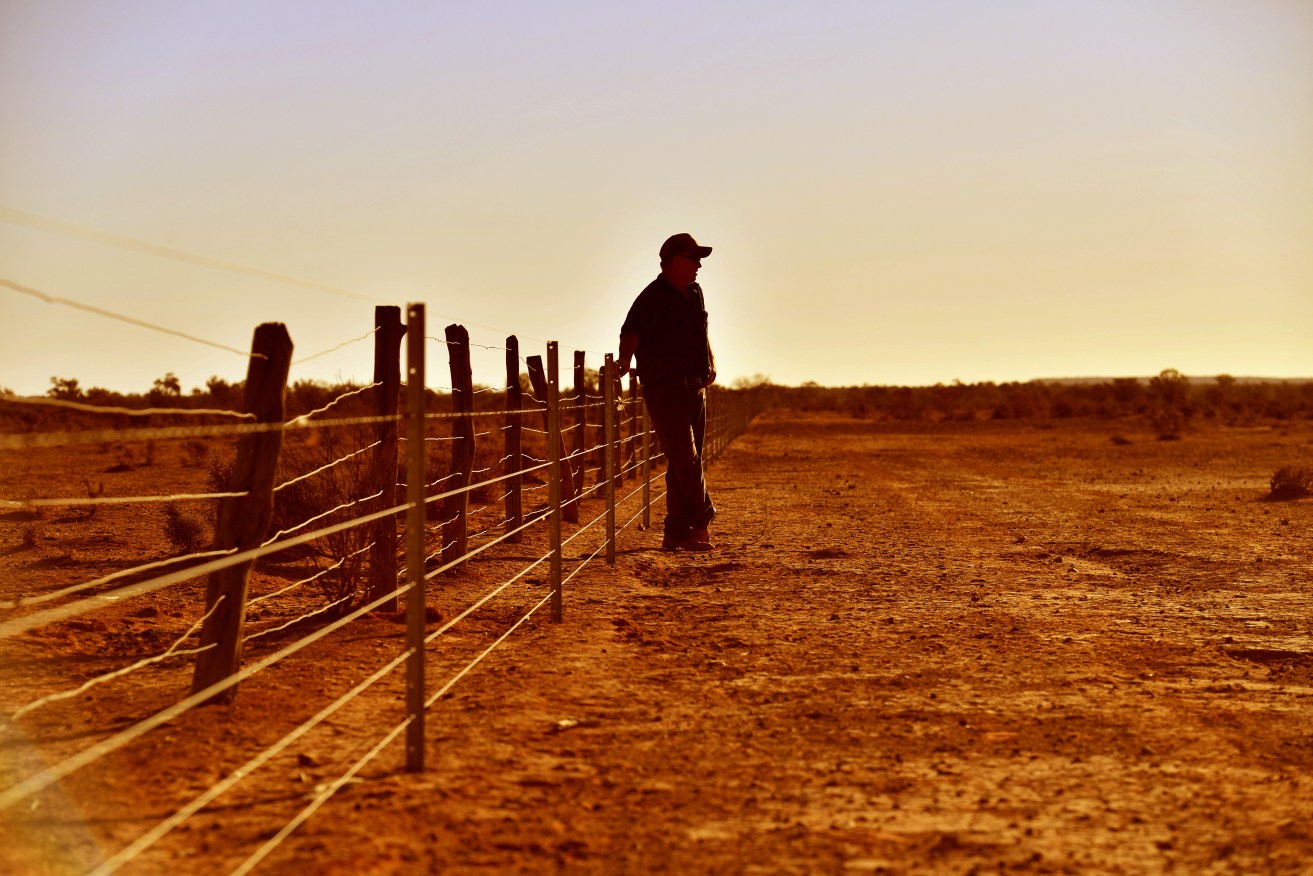
Bureau says El Nino conditions on the way but still stops short of declaring it. (AAP Image/David Mariuz) NO ARCHIVING
The Bureau of Meteorology’s latest climate driver update continues to say El Nino is “likely” to develop in spring.
El Nino events typically deliver drier conditions for much of the country, but particularly eastern Australia, as well as above average temperatures.
They occur when sea surface temperatures in the central and eastern Pacific Ocean become substantially warmer than average.
That causes a shift in atmospheric circulation, altering wind patterns that influence the kind of weather Australia gets.
Other agencies, including the World Meteorological Organisation and the National Oceanic and Atmospheric Administration in the US, declared an El Nino event was under way months ago.
But Australia’s bureau works to a different set of thresholds that it says are yet to be met.
It’s waiting for evidence that trade winds have continued to weaken, as well as changes in the Southern Oscillation Index, which is calculated using the pressure difference between Tahiti and Darwin.
Cloud cover is another factor.
“When we look at declaring an established El Nino, we look at both the ocean state, and the atmospheric state,” senior climatologist Zhi-Weng Chua tells AAP.
“The ocean state is looking like it’s satisfying what we’d expect during an El Nino, but the atmosphere hasn’t quite responded as strongly as we’d expect … but we are seeing signs that it’s getting close.”
The bureau’s latest advice also suggests the prospect of another driver of dry weather in Australia – a positive Indian Ocean Dipole – is firming.
In late-August a positive IOD for spring was considered likely, but that’s now shifted to very likely.
Mr Chua says if that emerges, it typically means less rainfall for central and southern Australia.
The prospect of hotter, drier weather has authorities concerned given the nation is emerging from three years of wet La Nina conditions that caused flooding, and fuelled heavy vegetation growth.
Once all that growth dries out, the nation will be burdened with heavy fuel loads for bushfires.
There have already been major bushfires in the Northern Territory, and significant early-season fire activity in Queensland and Victoria.
The next update is due in a week.